Course Overview
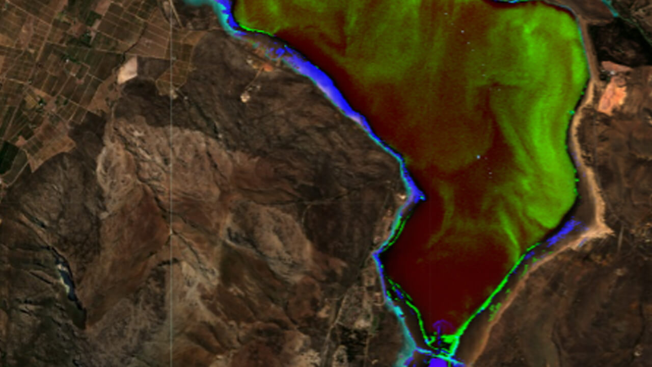
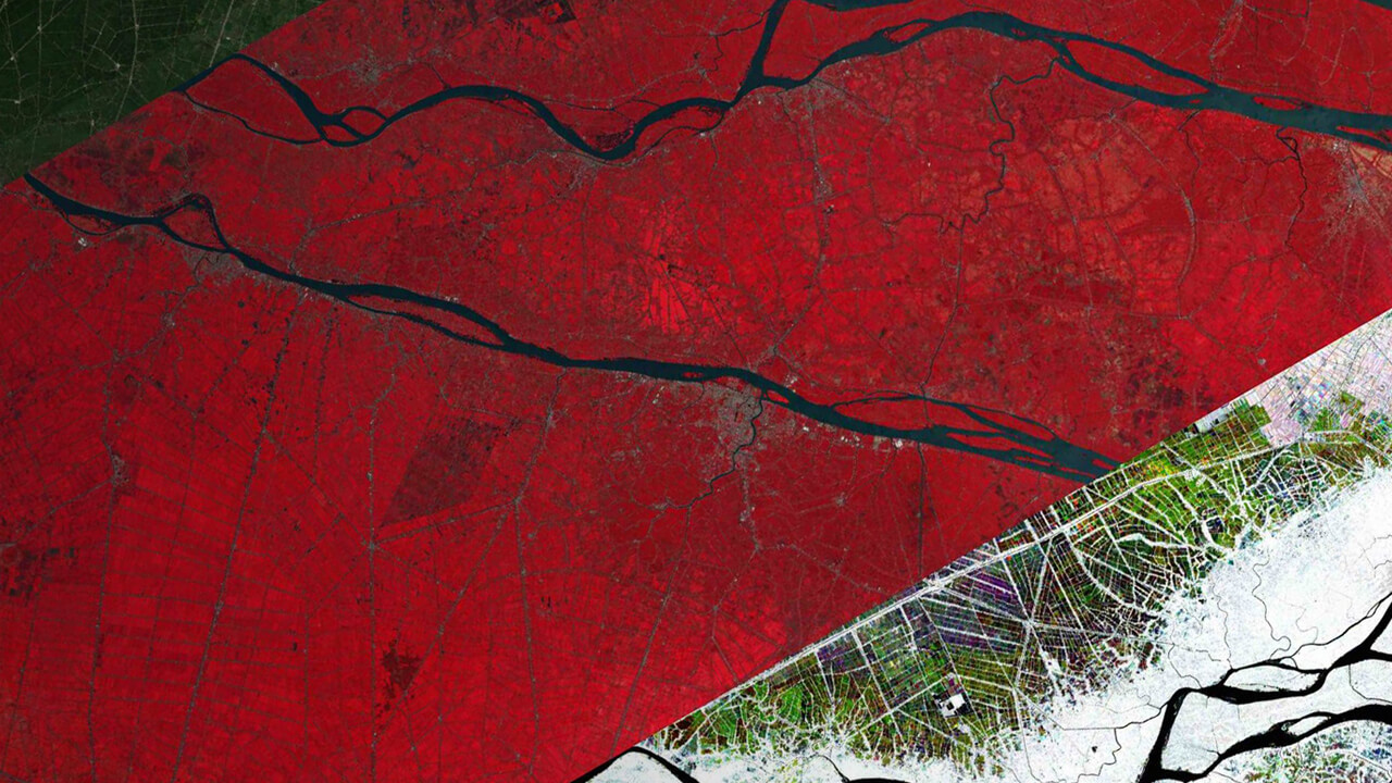
The application of satellite-derived datasets and geospatial analysis techniques in ecology and conservation has grown substantially over the last decade. With the emergence of cloud computing platforms that facilitate big data analysis, researchers, resource managers, and remote sensing enthusiasts are now able to interrogate petabyte-scale datasets with ease. Owing to new server-based infrastructure built by Google, anyone with an internet connection and a basic computer can conduct sophisticated spatial analyses. Via online lectures, hands-on practicals, and discussion sessions, this short course will teach you the foundations of applying Google Earth Engine to answer a range of ecological and conservation questions.
What is Google Earth Engine?
Google Earth Engine is a cloud-based computing platform, which primarily uses JavaScript commands to access and analyze planetary-scale geospatial datasets drawn from a variety of platforms. Through an internet-accessible application programming interface and associated web-based interactive development environment, Google Earth Engine users are able to mine a massive collection of geospatial data for change detection, resource qualification, and trend mapping on the Earth’s surface like never before.
| When: | Nov 10-23, 2021 |
| Where: | Online Course |
| Duration: | 2 weeks |
| Credits: | 2 |
| Language: | English |
| Deadline: | 5 Nov, 2021 |
STAY INFORMED ABOUT
FUTURE COURSES